


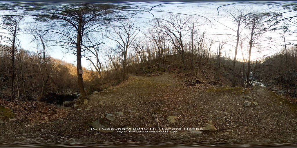
Location Scout VR Pano: Hell Hole, Popolopen Creek, Hudson Highlands, NY
Hell Hole is this big gorge along Popolopen Creek in eastern Orange County, NY – sort of near Hudson Highlands and Fort Montgomery, all of which are in the general vicinity of the United States Military Academy (West Point); in fact you have to be careful to pay attention to postings marked “No Trespassing” or whatever on trees in this area so you don’t end up in a restricted area. You can hear heavy weaponry being fired regularly so it is probably best to heed any warnings!
There is another pano on Location Scout R. Richard Hobbs – nyc.locationscout.us of the Popolopen Creek Bridge. An update since I first published both of these posts is that Hurricane Sandy did significant damage to the Popelopen Bridge, it was “out” for a number of months, but has been repaired. Kudos to those New York – New Jersey Trail Conference Volunteers who made it happen!


Popolopen – Wikipedia
Popolopen is the name of several related landmarks mainly within the Hudson Highlands of Orange County, New York. These include a mountain, Popolopen Torne—or simply “The Torne” and a short and steep-sided nearby valley officially called Hell Hole, but often Popolopen Gorge. Popolopen Creek runs through this valley. The Popolopen Bridge spans its mouth at the Hudson River and is crossed by Route 9W. Popolopen Lake feeds the headwaters of its namesake creek. Despite local usage, the United States Board on Geographical Names recognizes only the lake, creek and bridge as bearing the name “Popolopen.”
Location Scout VR Pano – Popelopen Creek Bridge


Popolopen Creek – Wikipedia
Popolopen Creek – also called Popolopen Brook – is a stream, fed mainly by Lake Popolopen, Stillwell Lake, and Weyant’s Pond, eventually draining into the Hudson River. It runs mainly through West Point and ends in a gorge between Bear Mountain and Popolopen Torne, officially called Hell Hole and popularly known, somewhat interchangeably, as Popolopen Gorge.


